Harnessing the Power of Data and Tech in the Great Outdoors
Services
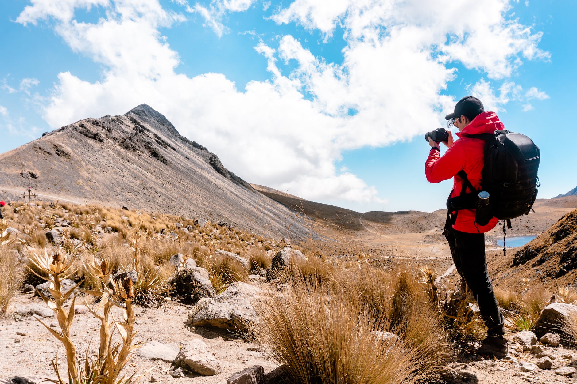
Ecosystem Surveys
Utilizing advanced technologies like GIS and remote sensing, our team conducts comprehensive ecosystem surveys that provide actionable insights for conservation efforts and land management.
Wildlife Monitoring
Our specialized methods in tagging and tracking methodologies allow for effective and humane wildlife monitoring, contributing to data that can mitigate human-wildlife conflicts.
Ecosystem Restoration and Conservation Actions
- Advanced forestry management: Silvicultural treatments and peatland restoration.
- Protection of endangered fauna and flora species.
- Implementation of natural-based water purification systems, such as green filters.
- Management and eradication of invasive exotic species.
- Enhancement of habitats and marine biodiversity conservation.
- Enhancement of ecological connectivity and ecosystem restoration.
- Wetland recovery and removal of wildlife hazards, such as fencing threatening steppe birds
Bridging Theoretical Models with On-Ground Reality
Our team carries out field studies to gather ground-truth data that complements our habitat suitability models, ensuring a well-rounded and rigorous analysis.
Strategic Environmental Studies
Our specialists conduct strategic environmental studies to assess the environmental impact of policies, plans, and programmes. This encompasses the gathering and analysis of field data, which is crucial for informed strategic decision-making.
Environmental Impact Studies
We conduct in-depth environmental impact studies for specific projects. Our fieldwork gathers crucial data to identify and evaluate potential environmental effects, recommending effective mitigation measures.
Case Studies
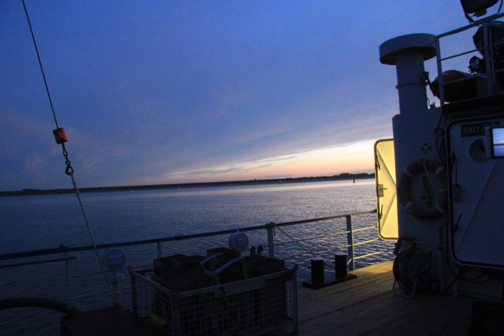
Synoptic Intertidal Benthic Survey (SIBES)
The objective was to monitor intertidal macrofauna across the Dutch Wadden Sea to understand habitat use and survival prospects of various animal species. The data also serves to assess the ecological impact of gas drilling areas.
In our endeavor to contribute to sustainable and effective environmental management, our team was instrumental in the Synoptic Intertidal Benthic Survey (SIBES) in the Dutch Wadden Sea. Funded partly by NAM for monitoring gas drilling areas, SIBES aims to comprehensively sample intertidal macrofauna, a cornerstone in understanding complex ecological interactions.
The project’s design is a marvel of efficiency, encompassing the entire Dutch Wadden Sea with a gridded sampling layout augmented by random sampling points. This approach has made SIBES a model for similar initiatives globally. The project today boasts over six thousand sampling points, even extending to the German mudflats.
View more
Ready for data-driven environmental action? Let’s talk.
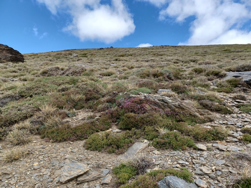
Biodiversity Sampling using MIREN Protocol for Project DINAMO
Financed by the European Union – NextGenerationEU, our partnership with the University of Córdoba led us to undertake biodiversity sampling using the MIREN protocol. This groundbreaking work is part of Project DINAMO, an initiative aimed at understanding biodiversity patterns under changing environmental conditions.
Under the University of Córdoba’s guidance and in compliance with the European Union’s stringent standards, Hub-Terra’s role was pivotal in carrying out the intricate sampling techniques specified in the MIREN protocol. This collaborative effort not only furthered the project’s goals but also stood as a testament to our commitment to cutting-edge scientific exploration and ecological responsibility.

“At Hub-Terra, we weave science into the very ground we walk upon, connecting every thread of knowledge with the land we strive to safeguard.”
J. Bernal
Let’s build something great together.
Hub-Terra
Research and Technology
29010 Málaga
Spain
©2023 Hub-Terra Investigación y Tecnología S.L. All rights reserved.
Third-party images and trademarks are the property of their respective owners and are used under permission or in accordance with their licensing terms.
Follow
